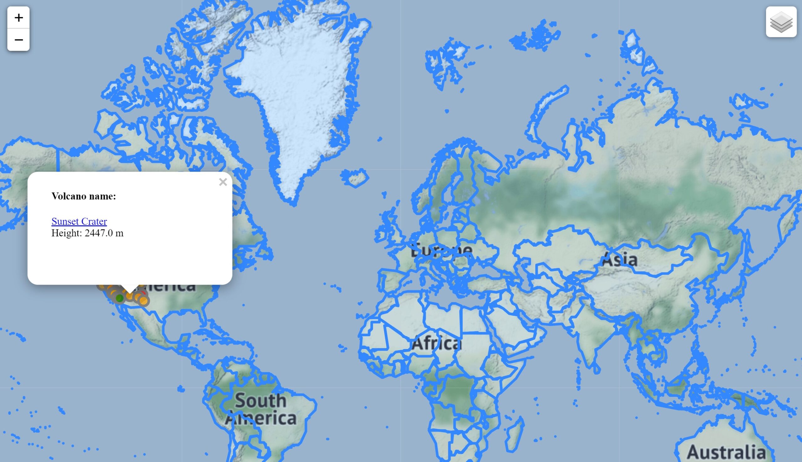

The Python project introduced in this article builds an interactive world map which display the volcanos in USA and the population of the countries in Western Hemisphere. The user is able to select if he/she wants to display the volcano information, population or the boundaries of the countries on the map.
The final output of this Python project is a web map: https://www.sophiesu.net/jupyter_notebook/Map with Volcano and Population Info.html
The user will be able to adjust the layers to display on the map using the control panel on the upper right corner. Clicking on any of the volcano icons, the user will be able to see the name and height of the volcano and access to its Google Search page.
